Construction mapping
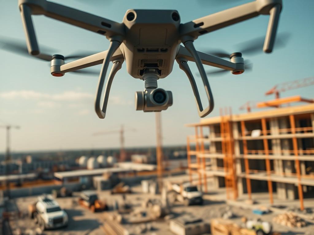
Streamline your construction projects with our precise construction mapping services. Our drones capture detailed aerial images and data, creating accurate maps that help in planning, monitoring, and managing construction sites. With this technology, stakeholders can visualize progress, assess site conditions, and make informed decisions about resource allocation. This service is perfect for construction managers, architects, and engineers who require reliable insights to enhance project efficiency and reduce delays. Get real-time updates and ensure your project stays on track with our cutting-edge mapping solutions.