Construction mapping
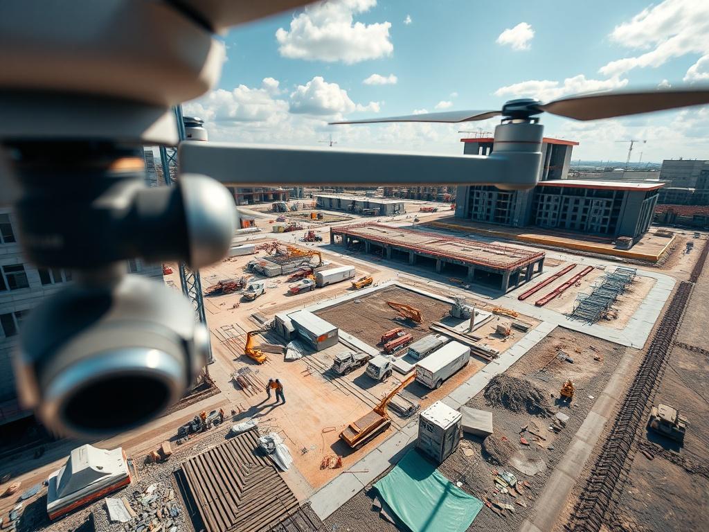
Streamline your construction projects with our precise aerial mapping services. Utilizing advanced drone technology, we create detailed maps and 3D models of construction sites, providing accurate measurements and topographical information. This service is perfect for contractors, architects, and developers looking to enhance their site planning and monitoring. By capturing high-resolution images from various angles, we offer insights that assist in project management, ensuring that timelines and budgets are met. Experience the efficiency of drone mapping, enabling you to visualize your project like never before and make informed decisions.